6 Things 70 Years of FEMA Data Reveal That Most People Get Wrong
We spent the last week inside FEMA's entire disaster declaration database. Every federally declared disaster since 1953. Almost 70,000 records. What we found doesn't line up with what you hear on the news — or what most preparedness sites tell you.
Here are six things the data actually says. Read to the end and we'll show you how to see what it means for the place you live.
1. Fire is the #1 declared disaster in 16 states — including Florida
Ask what Florida's biggest disaster risk is. You'll hear "hurricane" every time. The data says otherwise. Florida has 67 federal Fire declarations on the books. Hurricanes? 59.
And it's not just Florida. Fire is the most-declared disaster type in Alaska, Arizona, California, Colorado, Florida, Hawaii, Idaho, Montana, Nevada, New Mexico, Oklahoma, Oregon, Texas, Utah, Washington, and Wyoming. The entire western half of the country plus Florida and Oklahoma.
Here's why: hurricanes make bigger headlines, but fires trigger more declarations. One fire, one declaration. A state can rack up dozens in a single season. You probably know someone's hurricane story. How many fire stories do you know from your own zip code?
2. If your house burns in a wildfire, you probably won't see a federal check
This one surprised us more than anything else in the data.
Individual Assistance — direct federal aid to households for housing, grants, replacing what you lost — is activated in just 1.8% of Fire declarations. For tornadoes, it's 74.7%. Floods: 56.5%. Hurricanes: 20.5%.
Why the gap? Most wildfire declarations are Fire Management Assistance Declarations. They exist to reimburse state and local governments for suppression costs. Not to help the family whose house just burned to the foundation. Most people assume "federal disaster declaration" means the cavalry is coming for them. For fires, it almost never does.
If you live anywhere in wildfire country — and after reading finding #1, that's a lot of you — your plan can't lean on federal individual aid as a backstop. Your insurance, your evacuation plan, and your community are the plan.
3. Hurricane Katrina triggered disaster declarations in 46 states plus D.C.
Not "affected by." Not "raised money for." Received a formal federal disaster declaration.
Katrina generated 52 separate disaster numbers across 46 states and Washington D.C. When Louisiana and Mississippi emptied out, the states that took in evacuees qualified for federal assistance to cover the costs of hosting them. Colorado, Rhode Island, Connecticut, Vermont — all of them got Katrina declarations.
Here's the lesson buried in that stat: a disaster 1,500 miles from you can still land in your zip code. A hurricane in Louisiana pushes pressure on housing in Atlanta. A wildfire in California displaces families to Phoenix. Your risk isn't just what happens to you. It's what happens to everyone else and where they end up.
4. All 64 Louisiana parishes got 9 federal disaster declarations in one year
Louisiana's 2020, in order: COVID (twice), Tropical Storm Cristobal, Hurricanes Laura and Marco, Hurricane Sally, Hurricane Delta (twice), Tropical Storm Zeta. Ten declarations total. Every one of Louisiana's 64 parishes landed inside nine of them.
That was the year the Atlantic hurricane season used up the regular name list and went into Greek letters — one of only two times in history that's ever happened. The other was 2005.
Here's what we want you to take from this: disaster fatigue is real and it's measurable. Households that get hit by back-to-back events often end up less prepared, not more. Supplies run out and don't get restocked. Insurance claims stack up. Attention burns out. If you're somewhere compound events are even possible, the most useful thing in your kit isn't another flashlight — it's a written restock-and-reset checklist for after each event.
5. The gap between a disaster hitting and help being declared has gone from 0 days to 14
Median days from when an incident begins to when a federal disaster is declared, by decade:
1950s–1970s: 0 days — same day
1980s: 4 days
1990s: 7 days
2000s: 4 days
2010s: 6 days
2020s: 14 days
For severe storms specifically, the median is now 31 days. One in ten takes 78+ days.
Some of that lag is because modern damage assessments are more rigorous. Fine. But the reality on the ground is the same either way: help isn't coming for two weeks. Sometimes a month. The first 72 hours are on you. Often the first two weeks are on you.
That gap is exactly the problem GridPrepped was built to close.
6. Your county has almost certainly been declared a disaster area
Out of roughly 3,244 US counties and county-equivalents — that's the 50 states, D.C., and the territories — 3,263 distinct jurisdictions have had at least one federal disaster declaration since 1953. (The number goes slightly higher than the standard count because FEMA's data includes tribal lands and historical jurisdictions.)
Here's the distribution, setting COVID aside so it doesn't skew things:
344 counties: 30+ declarations
1,052 counties: 20–29 declarations
1,403 counties: 10–19 declarations
332 counties: 5–9 declarations
113 counties: 2–4 declarations
19 counties: just 1 declaration
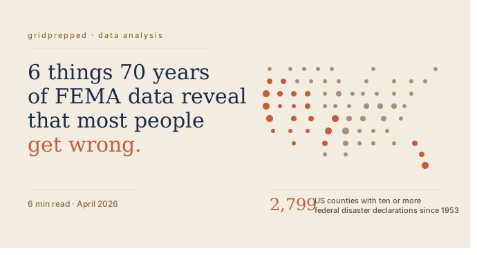
Read that again. 2,799 American counties have had ten or more federal disaster declarations in the last 73 years. Not "could have." Not "might." Actually did.
The question isn't whether a disaster is going to hit your county. It's what kind, when, and whether you'll be the household that's ready or the one improvising on day three.
So what does this mean for your zip code?
FEMA's data tells you county-level history. Broad strokes. What it can't tell you is:
- Whether your specific street is in a flood-prone drainage, a wildland-urban interface, or an earthquake fault zone
- Which alerts from NWS, USGS, EPA, and NIFC are actually relevant to you right now, today
- What 72-hour and 30-day preparedness actually look like for your specific risk mix — not generic "store three days of water" advice that doesn't tell you what else you're missing
That's what GridPrepped was built for.
Drop in your zip code. We'll show you your actual local risk across the six disaster categories FEMA tracks most, pull in real-time alerts from the federal feeds covering your area, and give you a targeted checklist built around what your household actually needs.
Every row of the FEMA data has one thing in common: the people who got caught by it didn't think it would be them. Don't be that household.
Data source: OpenFEMA Disaster Declarations Summaries v2, queried April 22, 2026. All figures verified against 69,885 records covering 5,174 unique federal disaster declarations from May 2, 1953 through April 11, 2026.
Build your household's emergency plan
Free, and built around where you live.